
 This is just the beginning! Our collection holds over 300 years of history, including rare newspapers, obituaries, marriage records, birth records, and so much more—most of which you won’t find anywhere else!
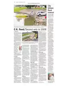
Cedar Rapids braces for major Cedar River flood threat
Cedar Rapids confronts possible 24 foot crest as neighborhoods near downtown face flooding. City officials set sandbagging, pumps, and road closures with evacuations possible. Mayor Corbett and Gov Branstad warn residents to prep, check flood maps, and heed authorities.
MENTIONED IN THIS ARTICLE
National Weather Service
Cedar River
New Bohemia
Czech Village
Cedar Rapids
Ron Corbett
Peter Speck
Davenport
Iowa
Terry Branstad
Butler
Chickasaw
Floyd
Branstad
Corbett
Third Avenue
First
Second Avenue
Jim Slosiarek
the Gazette
Ellis Boat Harbor
Ellis Boulevard