
 This is just the beginning! Our collection holds over 300 years of history, including rare newspapers, obituaries, marriage records, birth records, and so much more—most of which you won’t find anywhere else!
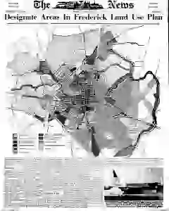
Frederick Land Use Plan map outlines expansion belt
A map designates areas covered by the Land Use Plan to guide Frederick and a one mile surrounding belt for the next 25 years. A public hearing is set for January 15 in the Board Room at City Hall 7 p.m. to discuss the plan's ramifications. The plan awaits adoption by the Planning Commission.
MENTIONED IN THIS ARTICLE
Frederick
City Hall
Planning Commission
Monocacy School Pta
Herman Frye
A. J. Shraver
Cathy Sue Speaks
Wayne Speaks
Dickerson
Speaks
Frederick Memorial Hospital
Herman Hubble
Ellen Matthews
Elmer Michael
Ivan Loucks
Chrome Hospital
Harry Thomas
Montevue
George Stup
Hood College
Fred Dienert
Loucks
Social Security Administration
Adamstown Reformed Church of Christ
Palmer Snook
Loudis
Mary Long
Edgar Haker