Panicked San Francisco Fire Driven by Northwest Wind
A massive fire along San Francisco’s waterfront raged for hours fanned by a strong NW wind. Flames spread toward the bay threatening communication with Oakland and Berkeley as residents fled, looting halted, and relief efforts moved into gear with bread and milk for the hungry, while the city hoped the blaze would be contained west of Van Ness Avenue.
MENTIONED IN THIS ARTICLE
San Francisco
Oakland
Berkeley
Custer
Bac
Ole
Octavia Street
Nab Imu
Market Street
Fort Mason
Stricke
McCalla
Mare Island Navy Yard
Union
Postal Telegraph Company
Waterfront
Mission
Howard
East
Stewart Streets
San Pablo Hotel
Telegraph Hill
Golden Gate
van Ness Avenues
Union Iron Works
Washington
Committee of Safety
van Ness Avenue
Bay
Swift & Co
Mraca
Fire Department
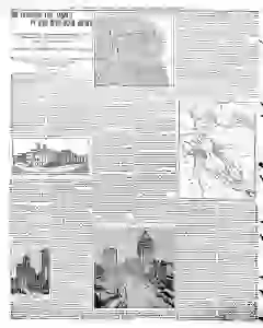
Map of San Francisco Fire Destruction and Refugee Camps
Readable passages describe a vast San Francisco disaster with fires and collapsed walls. The city’s homeless crowd camps from Ingleside to North Beach, while Portsmouth square served as a makeshift morgue and Presidio laborers bury the dead. Docks became hospitals as water and wells failed, and refugees flee to Oakland and Los Angeles with relief efforts organized by governors, banks, churches, and volunteers.
MENTIONED IN THIS ARTICLE
San Francisco
Ingleside
North Beach
Golden Gate Park
Panhandle
Portsmouth
Columbia Square
Presidio
Folsom Street
Harbor Hospital
Goat Island
Howard Street
Tolsom Street
Main Street
Bryant
Eighth Streets
Market Street Bank
Seventh
Market Streets
Clearing House
Second
Brannan
Postal Telegraph Company
The
Orient
Ocean Beach
Sixth
Folsom
Oakland
Cal
Relef
Bay
San Mateo County
Pacific Coast
Yasterdiy
Relief Committee
Thirteenth
Franklin Streets
Chinatown
Los Angeles
W. W. Overton
Mr. Overtown
Also Mentioned on This Page
Hugh Wind
Bay Street
Meiggs and
Fisherman's Wharf
Chronicle Building
Land
Alameda
Gov. Pardee
Mott
Empire City of the Pacific
Claus Spreckels
San Francisco Call
Examiner
Palace Hotel
Sky Acropat
Baldwin Hotel
Sonoma
San Fabes